
Temperatures to Fall This Week after the Bank Holiday
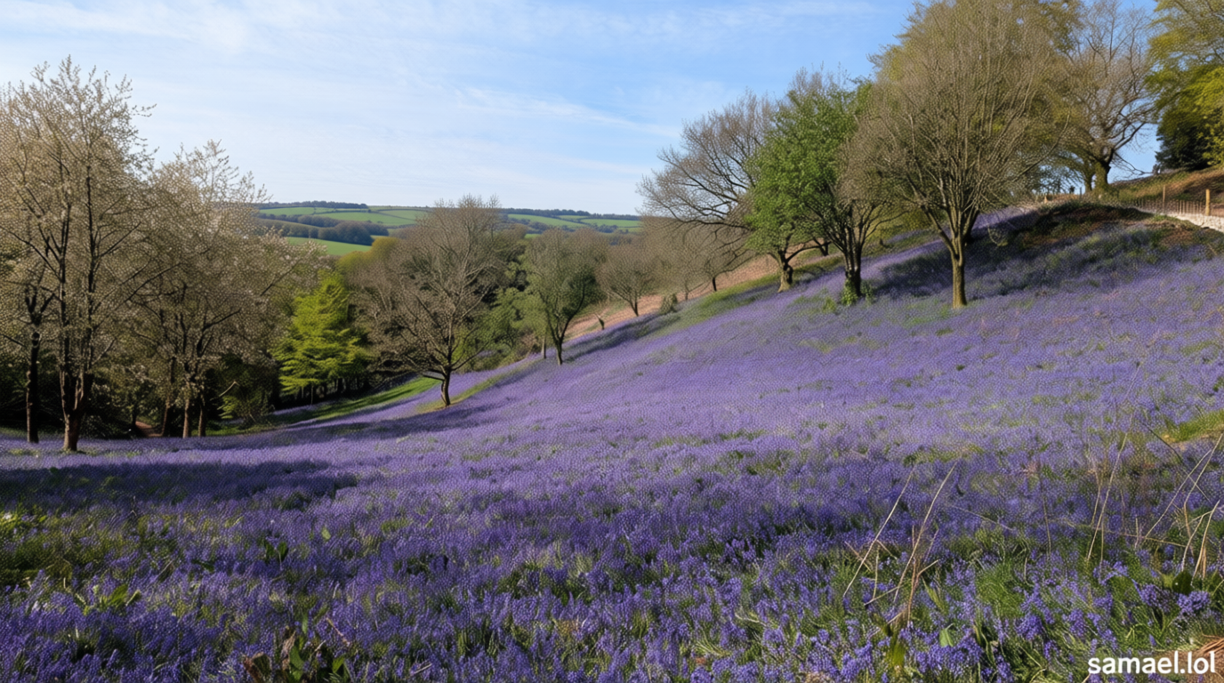
Samael.lol – Following the warmth experienced last week, the UK is expected to witness a decline in temperatures during the first full week of May. A weather watcher in Hagley, Worcester, captured an image that highlights the recent shift in conditions, showcasing the contrast between the previous week’s mild weather and the cooler trend now underway. While parts of England saw temperatures peak at around 25°C (77°F) on Friday, the coming days will bring a noticeable chill, altering the usual spring patterns.
Regional Weather Variations
The May Bank Holiday presents a mixed weather outlook. Scotland will begin with a frosty start, as lingering cold air settles in the north, followed by a weather front that could bring rain to the far northern regions. In contrast, much of the rest of the UK is forecast to enjoy springlike conditions, with the strengthening May sun offering occasional warmth and clear spells. Northern Ireland, however, is likely to remain mostly dry, with pockets of sunny weather and mild temperatures throughout the day.
In England and Wales, the early morning fog that appeared patchily will clear quickly, giving way to cloudier skies in the afternoon. While northern areas may benefit from intermittent sunshine, southern regions are at risk of lively showers, especially as the week progresses. These showers could even develop into isolated thunderstorms, adding a dynamic element to the forecast. The return of ground frost and fog on Monday night is worth noting, particularly for those with delicate plants outdoors, as these conditions are expected to be short-lived.
Forecast Breakdown by Day
Monday will bring a fresher feel, with ground frost possible across Scotland and Northern Ireland. Although the morning may start with a chill, any early fog is likely to dissipate by midday, allowing for sunny intervals. Tuesday is anticipated to be cool, with early fog clearing to reveal sunny spells, though scattered showers will accompany the day. These showers are most frequent in Scotland, the northern parts of England, the Midlands, and Wales.
Wednesday will see the coolest temperatures of the week, with a colder start and patchy ground frost spreading more widely. A gentle northerly wind will dominate this day, keeping temperatures subdued compared to previous days. Despite the chill, there will be periods of sunshine and slow-moving downpours in some areas, creating a mix of conditions. By Thursday, a shift in wind direction to the southwesterly will bring milder temperatures, though the northwest will experience brisk winds near low-pressure systems. This will result in steady rain over Scotland, while other regions will see sporadic showery bursts.
Friday is expected to mark a transition to neutral weather, as the low-pressure system that has been influencing the UK moves away. This will leave the country in a col or neutral zone, with neither high nor low pressure dominating. Nevertheless, scattered showers will continue to develop, particularly in the south, offering some relief from the week’s chill. The weekend’s forecast hints at low pressure approaching the southern half of the UK, potentially bringing much-needed rain to areas that have been experiencing dry conditions.
Understanding Showers and Their Forecast Challenges
What are showers and why are they hard to forecast?
This question has been at the forefront of meteorological discussions as the week unfolds. Showers are brief periods of precipitation, often triggered by localized weather patterns. Their unpredictability stems from the complex interplay of atmospheric conditions, such as temperature gradients, wind direction, and humidity levels. Unlike prolonged rain, which is easier to track, showers can form rapidly and dissipate just as quickly, making them a challenge for accurate forecasting.
Weather models must account for subtle shifts in air masses and frontal systems, which can influence whether a shower develops. For instance, a passing weather front might bring rain to the far north of Scotland, while the same system could leave other regions relatively dry. This variability requires continuous monitoring and updates to ensure the public is well-informed about potential weather disruptions.
Weather Outlook for the Week Ahead
The coming week will be characterized by a range of weather phenomena, with dry conditions prevailing in many areas. However, the potential for showers, especially in the south, adds an element of uncertainty. Monday night’s coolness is likely to persist, with the risk of ground frost in the early hours. Tuesday’s mix of sunshine and light rain will create a contrast in experiences across the UK, depending on location.
Wednesday’s cooler start will be accompanied by patchy frost and overcast skies, while Thursday offers a brief reprieve with milder temperatures. The southwesterly wind will bring a gentler feel, though it may still leave some regions damp. By Friday, the UK will stabilize into a neutral weather zone, with scattered showers continuing to pop up in the south. This pattern is expected to persist into the weekend, with the arrival of low pressure likely to increase the chance of rain in southern areas.
As the weather shifts, the balance between dry spells and precipitation will remain a key factor. While some regions will enjoy extended periods of sunshine, others may face intermittent showers that can disrupt plans. The transition from the Bank Holiday’s mild conditions to a cooler week will be a gradual process, with forecasts suggesting a mix of temperatures and precipitation throughout the days ahead.
Looking Ahead to Summer
Amid the fluctuating weather, the question of whether the UK is heading for another drought this summer has been raised. Early signs of prolonged dryness in certain areas could signal a potential summer of limited rainfall, though current conditions suggest this is not yet a certainty. The return of showers, particularly in the south, may provide temporary relief, but long-term trends will depend on the persistence of high-pressure systems and the absence of significant storm activity.
For now, the focus remains on the week’s weather, with forecasts indicating a mix of cooler temperatures and variable precipitation. While the Bank Holiday brought a brief respite from the cold, the UK is now entering a phase where the weather will test both plants and people. Those in the north will need to prepare for potential frost, while the south may see more frequent rain showers. This dynamic weather landscape underscores the importance of staying updated with the latest forecasts to navigate the challenges ahead.
As the May Bank Holiday fades into memory, the weather’s dual nature becomes evident. Some days will feel mild and pleasant, while others will be cooler and more unsettled. This variability is a hallmark of spring, where the atmosphere remains in flux. Whether the UK will experience a drought or a more temperate summer remains to be seen, but the coming week’s weather will provide valuable insights into the season’s direction.